Just click the image for the update..
Results 31 to 40 of 144
Thread: Weather Forecast
-
07-03-2008, 02:48 PM #31
-
07-30-2008, 08:32 PM #32

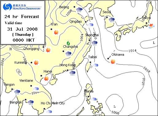
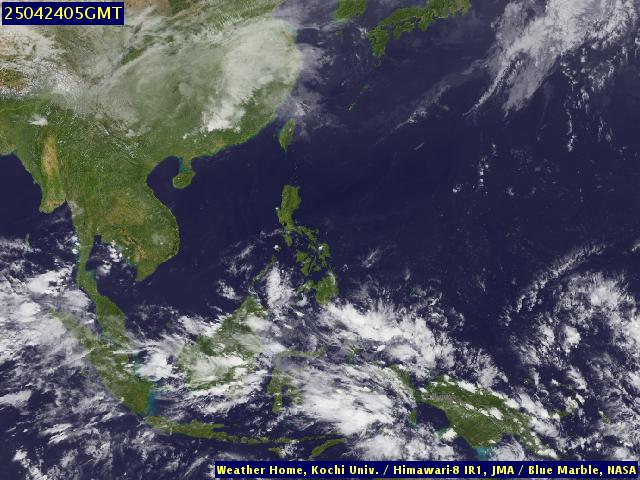
low pressure east of visayas is becoming larger. however, it wont be that alarming since we are now starting to enter the habagat season which presents prevailing southwesterly winds. expect the low presssure to move north though... but then, it still pays to be prepared in case this turns out into a depression and into a storm. typhoon frank is forecasted to move north before it enters the philippines thats why we are caught napping about it.
expect heavy rains tomorrow until weekend though

-
08-01-2008, 02:43 PM #33
-
08-14-2008, 04:59 AM #34

Metro Cebu (August 14, 2008 - Thursday)
-24°C - 31°C
-Mostly cloudy with scattered rainshowers & thunderstorms
source
-
02-04-2009, 11:03 AM #35
-
02-04-2009, 10:47 PM #36

hope you can also post current direction.... very helpful for us seafarers
-
02-05-2009, 06:45 AM #37

here's a good chart for seafarers and those dependent on the wind (like me!)

-
02-07-2009, 07:13 PM #38
-
02-08-2009, 07:25 PM #39

naa sa ubos ang speed code sa red bro. it's 25-34 knots. strong wind nana so medyo warning na cya. usually, classified nana as tropical depression nga speed. kung clockwise ang direction, it could develop stronger into a tropical storm.
-
03-17-2009, 01:07 PM #40
Similar Threads |
|


 Reply With Quote
