kanus.a jud ang final date sa trekking? hehe.. maita mka.apil ko.. hehe
Results 6,781 to 6,790 of 34817
Thread: Aquatic Cebu Enthusiasts (ACE)
-
10-26-2009, 11:58 PM #6781
-
10-27-2009, 12:51 AM #6782
-
10-27-2009, 03:51 AM #6783C.I.A.

- Join Date
- Mar 2007
- Gender

- Posts
- 3,081
oi! hello Rhea. welcome to ACE again. condolence sa imung mga gouramis. i think na huot ra guro to sila sa imung bowl. i agree with master swordfishh, the bigger the better.. a 2 feet tank will suffice. pero sige, suwayi ang imung bowl, but remember to do waterchanges jud. mag lisod pud ka sa filter, if plan nimu butangan. anyway, naa kay silingan nga nag planted pud, so feel free to text or drop by if naay problema sa setup. God bless.
asa ni nga petshop sir? sakto si master STG, riccia fluitans and ludwigia repens, although dili kaayo ko ka klaro sa repens, mura pud siyag ludwigia glandulosa...
wow, master, i am dumbfounded by your words of wisdom. musta master? mermaid's weeeeeed....hehehe
-
10-27-2009, 03:52 AM #6784C.I.A.

- Join Date
- Mar 2007
- Gender

- Posts
- 3,081
usually, they would say ses nga suga ug dosing Fe(iron) ni... but i will rule out the iron intake since you have a raw clay bottom substrate, increasing light intensity probably helps.
SEC registration ang gihuwat master, si soggy murag out of town pa. and si grim ako na giingnan. si alain, i know he is reading this. ako lang ihatod siguro this week sa ila shop para pa signan ni alain. pangitaan ko na higayon.
sa Bonbon na, mother river sa Mananga river.
-
10-27-2009, 03:52 AM #6785C.I.A.

- Join Date
- Mar 2007
- Gender

- Posts
- 3,081
dude!!! ka nindot sa polka dot!! diin nimu palita? pila?
 rare mani nako makit-an.
either way sir, im good with it. sa majority lang. please let us know kinsa majority nahan nov 2 or nov 8. thanks.
Dili sa ila iyon nakuha ang shrimps and stiphodons... sa Bonbon engineer.
-
10-27-2009, 03:53 AM #6786C.I.A.

- Join Date
- Mar 2007
- Gender

- Posts
- 3,081
-
10-27-2009, 03:53 AM #6787
-
10-27-2009, 04:27 AM #6788C.I.A.

- Join Date
- Mar 2007
- Gender

- Posts
- 3,081
-
10-27-2009, 04:38 AM #6789
-
10-27-2009, 04:46 AM #6790
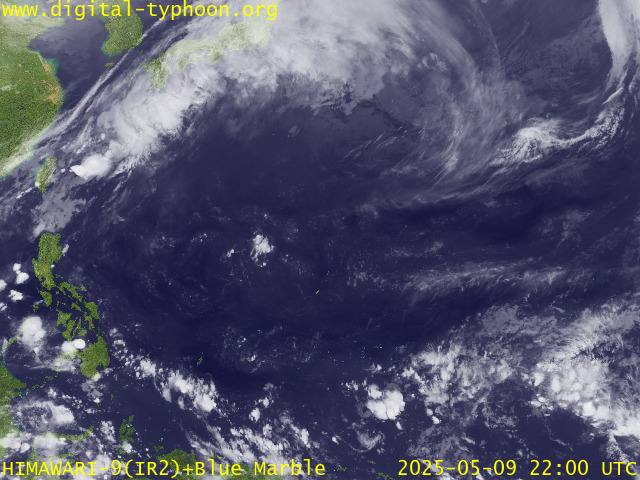
So guys we will move our trekking on Sunday, Nov. 8, 2009. Mura ug dili sad maayo nga karon Nov. 2 kay rainy by that time because of an approaching typhoon

+ Forecast Outlook: 23W is expected to turn westward within the next 2 days as the High Pressure Steering Ridge north of it strengthens...pushing 23W into the Philippine Sea. It will reach Typhoon intensity on Wednesday afternoon Oct 28. The 3 to 5-day Long-Range Forecast shows the system entering the Philippine Area of Responsibility (PAR) on Thursday morning Oct 29...will be approaching the northern coast of Bicol Region on Saturday, Oct 31 as a Category 3 Typhoon with winds of 185 kph. *Initial Impact Forecast (IIF): The latest ECMWF 7-day extended forecast shows the system hitting Northern Bicol, Southern Tagalog Provinces including Metro Manila on Saturday or Sunday (Oct 30-Nov 01). Please be reminded that the Forecast Outlook changes every 6 hours, so a turn to the left or right of its future track and other conditions must be considered.
Advertisement
Similar Threads |
|


 Reply With Quote


